
Heads up: this post contains affiliate links. If you buy through one, we may earn a small commission at no extra cost to you. As an Amazon Associate, we earn from qualifying purchases.
⚡ Quick Answer: A topographic map shows the shape of the land using contour lines that connect points of equal elevation. Lines close together mean steep terrain, lines far apart mean gentle ground. Learn to read contours, the map scale, and the legend, and you can picture the landscape before you ever set foot on it.
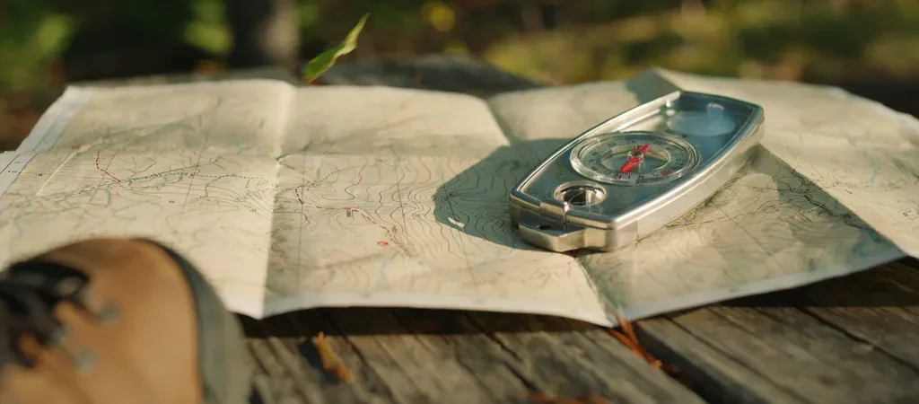
A topographic map is one of the most powerful tools in the outdoors because it turns a flat sheet of paper into a three-dimensional picture of the land. Once you can read the contour lines, you can spot ridges, valleys, summits, and the easiest route between them. Here is a beginner-friendly guide to reading a topo map and using it to navigate.
Contour Lines: The Heart of the Map
Contour lines connect points of equal elevation, so every point along one line sits at the same height. Where the lines bunch tightly together, the ground rises or drops steeply. Where they spread far apart, the terrain is gentle and flat. Every fifth line is usually darker and labeled with its elevation, and the vertical distance between lines, called the contour interval, is printed in the map legend.
Reading the Shape of the Land
With a little practice the lines reveal familiar features. Concentric closed circles mark a hilltop or peak. Contours that form a V pointing uphill indicate a valley or drainage, often with a stream, while a V pointing downhill marks a ridge. Closely stacked lines along a slope warn of cliffs. Learning these patterns lets you read terrain without ever seeing it.
Understanding Scale and Distance
The map scale tells you how distance on paper relates to distance on the ground. A 1:24,000 scale, common for detailed U.S. maps, means one inch equals 24,000 inches, or 2,000 feet, on the land. Use the scale bar to measure how far your route runs, and remember that steep contour-packed sections take far longer than flat ground of the same map distance.
The Legend and Symbols
The legend decodes the colors and symbols. Blue marks water, green shows vegetation and forest, white often means open or bare ground, and black or red usually marks human-made features like trails, roads, and buildings. Take a minute to scan the legend before a trip so nothing on the map surprises you in the field.
Orienting the Map to the Land
To navigate, line up the map with the real world. Set the map so its features point the same direction as the terrain around you, using a compass to align the map north with magnetic north if needed. Then match visible landmarks like peaks, lakes, and valleys to their symbols on the map to fix your position.
Put It Into Practice
The best way to learn is to carry a topo map on trails you already know and watch how the contours match what you see. Notice how a tight cluster of lines feels underfoot, and how a stream sits in a V of contours. Do that a few times and the map becomes a window into the landscape, ready to guide you somewhere new.
Recommended Gear

- 【Size Detial】: Each map compass measures 4.17 x 2.48 inches/ 10.6 x 6.3 cm, providing a clear baseplate area for easy ma…
- 【Safety Material 】: This orienteering compass features a durable acrylic body that is lightweight, waterproof, and impac…
- 【Easy to Use】: Designed with a 360° rotating bezel, directional arrows, ruler scale, and a built-in magnifier, this hiki…

- Hiking Compass: Compact and accurate compass that features a high grade steel needle with jewel bearing; The baseplate c…
- Precise And Practical: Great for hiking and orienteering, the A-30 Compass has luminescent markings for low light condit…
- Stay On Course: Made in Finland, SUUNTO mechanical compasses help you safely and accurately navigate the great outdoors;…

- Advanced Navigational Compass: Made with serious hikers in mind, this professional mirror compass was designed for preci…
- Precise And Dependable: Operable in low light conditions, the MC-2 Compass includes a sighting hole and notch for accura…
- Stay On Course: Made in Finland, Suunto mechanical compasses help you safely and accurately navigate the great outdoors;…
Frequently Asked Questions
What do the lines on a topographic map mean?
Those are contour lines, and each one connects points of equal elevation. Lines close together mean steep terrain, and lines spread far apart mean gentle ground. Every fifth line is usually darker and labeled with its elevation, and the spacing between lines is set by the contour interval in the map legend.
How can you tell a hill from a valley on a topo map?
Concentric closed circles mark a hilltop or peak. Contour lines that form a V pointing uphill indicate a valley or drainage, often with a stream, while a V pointing downhill marks a ridge. With practice these shapes let you picture the terrain in three dimensions from the flat map.
What does map scale mean?
The scale tells you how distance on the map relates to distance on the ground. On a common 1:24,000 map, one inch equals 2,000 feet. Use the scale bar to measure your route, and remember that steep, contour-packed sections take much longer to hike than the same map distance on flat ground.

Written by Sarah Brooks · Hiking & National Parks
Sarah fell in love with the outdoors on a childhood trip to the Smokies and has logged thousands of trail miles across 30+ national parks since. She is happiest above treeline with a map in hand.